
Home / South East / West Sussex
SOUTH EAST
Kingley Vale
Kingley Vale National Nature Reserve sits in the South Downs north-west of Chichester. Its veteran yews, chalk grassland and wooded slopes make it a distinctive place for a nature walk in West Sussex.
Come for the ancient trees, but allow time for the open hillside too. This is a rural reserve with steep and uneven ground, limited mobile reception and grazing livestock, so a little preparation makes the visit much easier.

Kingley Vale at a glance
Where
West Sussex
Your visit
Choose a short outing or a longer walk using the route information below.
Before you arrive
Check current opening times, route conditions and local notices.
Why visit Kingley Vale?
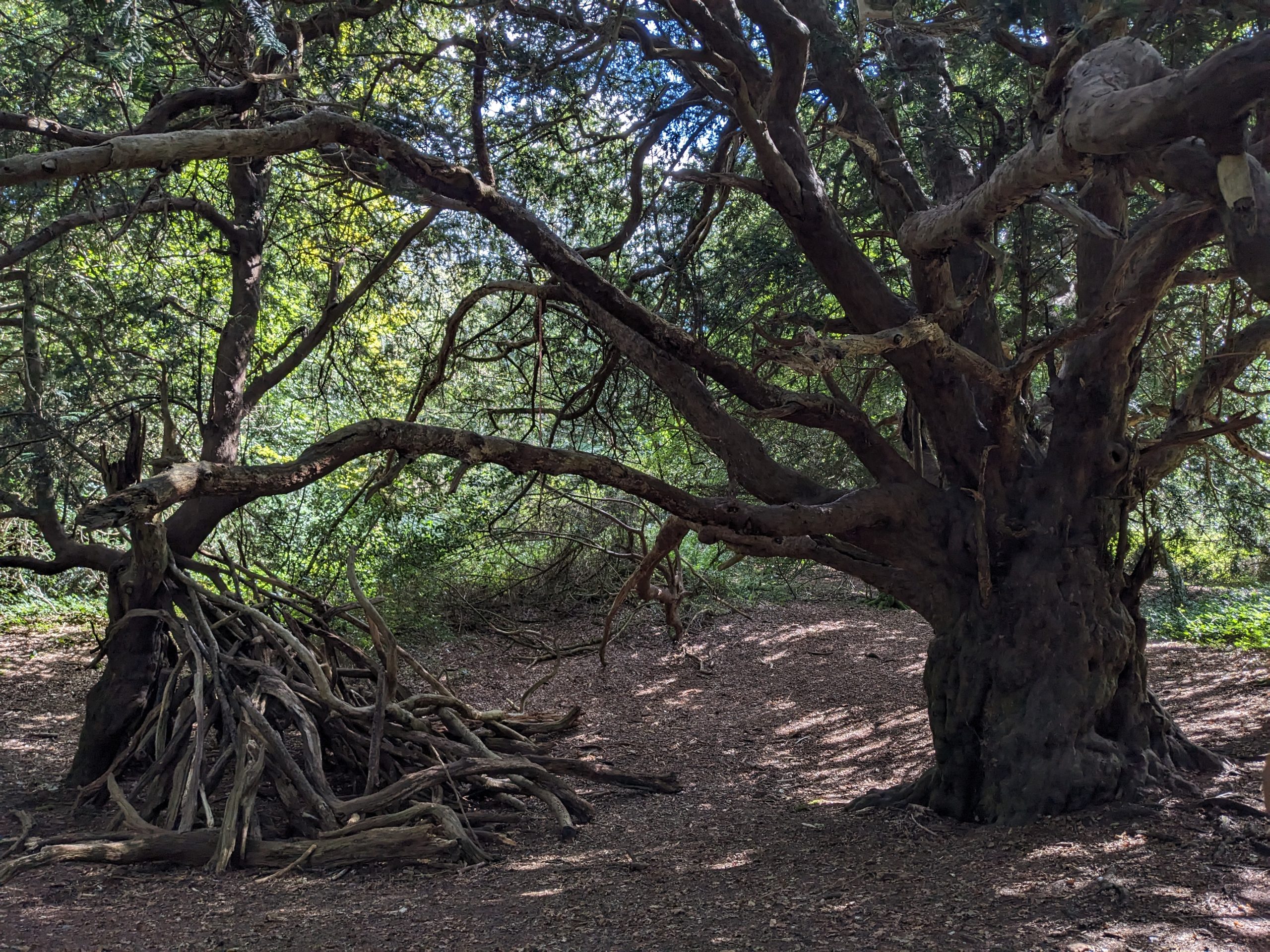
The yew woodland is the centrepiece. Some veteran trees are more than 500 years old, with broad trunks and twisting branches that invite close observation. Walking quietly beneath them is a very different experience from the breezy grassland above.
The reserve also combines wildlife with a long human history: chalk grassland surrounds an important archaeological landscape. A good visit takes in those contrasts without trying to rush around every path. If climbing is difficult, decide beforehand how far you want to go and leave energy for the return to the car park.

Walks and places to explore
Start with the yew woodland
Use the reserve map to plan a walk into the ancient yew grove from the southern approach. The woodland deserves unhurried time: look at the changing shapes of trunks and branches without climbing on or damaging them. Paths can be muddy, root-covered and uneven, so the route should not be treated as a surfaced park walk.
Continue onto the chalk slopes
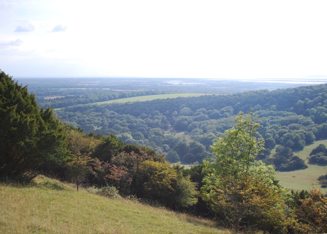
For a longer outing, extend your walk onto the higher grassland, following mapped paths and local signs. The climb brings a different perspective on the vale and surrounding countryside, but adds exertion and exposure. Choose a turnaround point that suits your group rather than feeling obliged to reach the top.
Consider the northern approach
Natural England also identifies Forestry England’s Stoughton car park to the north. It can be a quieter starting point, but gives a different route into the reserve. Check the map and walking distance carefully; it is not a drop-off at the ancient yew grove.
Accessibility and easier visits
Natural England warns that some terrain is steep and uneven and may be unsuitable for visitors with limited mobility. The walk into the reserve also needs to be included when judging whether the outing is manageable.
Do not assume a step-free, short circular route or mobility equipment is available. Contact the reserve team with your particular needs before travelling. Plan routes in advance, download a map and tell someone where you are going, because mobile coverage is limited.
Plan your visit
Getting there
Chichester is the nearest railway station, roughly 3 miles away, and Natural England lists no bus link directly to the reserve. Drivers approaching West Stoke from Mid Lavant follow Downs Road west, pass the church and turn right at the sharp bend. Use the official directions and map for your chosen entrance.
Parking and cost
West Stoke car park has limited capacity and can fill on weekends and school holidays. Vehicles must be under 2m high, and overnight parking is not allowed. Stoughton car park is the northern alternative. Check current parking conditions on site; never block village roads, gateways or emergency access. Cycle parking is available at West Stoke.
Opening and admission
This is an outdoor nature reserve rather than a staffed attraction with a single visitor-centre timetable. Natural England’s current visitor page does not give a full opening or admission schedule. Check for local restrictions before travelling and plan to complete your walk comfortably in daylight.
Toilets and refreshments
Plan for a countryside visit and bring drinking water, food and a downloaded map. Do not rely on finding a café or toilet at the start of the reserve walk: the current official page does not confirm those facilities. Arrange a toilet stop in the surrounding area before setting out.
Dogs and responsible visits
Dogs must remain on leads at all times. Cattle or sheep can be present throughout the year, and the rule also protects wildlife. Keep a generous distance from grazing animals, follow signs and remove all dog waste.
Wildlife and changing seasons
Woodland birds and ancient trees
The reserve supports birds including green woodpeckers, blackcaps and marsh tits. Listen as well as look, particularly where dense vegetation hides smaller birds. Buzzards, kestrels and red kites may appear overhead, but sightings are never guaranteed.
Grassland flowers and butterflies
Warmer months bring opportunities to look for chalkhill blue, holly blue and brimstone butterflies. The grassland supports orchids and other flowers, including bird’s-foot trefoil and kidney vetch. Enjoy plants where they grow and keep to paths to protect the habitat.
Make the most of your day
Wear suitable footwear and avoid the woodland during strong winds because unstable branches can fall. Ticks are present: cover legs where possible and check yourself and pets afterwards. Former military use means suspicious metal objects must not be touched; report them to staff. No fires, barbecues, unauthorised camping, digging, drone flights or removal of natural material.
Official visitor information
Natural England visitor information and directions · Reserve map and visitor leaflet · South Downs visitor map
Visitor details checked 5 October 2026. Opening times, charges and access can change; check the official sources before travelling.