
Home / East Midlands / Derbyshire / Staffordshire / Cheshire / Greater Manchester / South Yorkshire
EAST MIDLANDS · NORTH WEST · YORKSHIRE AND THE HUMBER
Peak District
The Peak District brings together limestone dales, gritstone edges and open moorland. Bakewell, Castleton and the former railway trails are useful starting points for a first visit.
This is an area guide, not a single reserve with one entrance. Pick a particular landscape and walk before travelling, then check its parking, facilities and access information.

Peak District at a glance
Where
Derbyshire · Staffordshire · Cheshire · Greater Manchester · South Yorkshire
Your visit
Choose a short outing or a longer walk using the route information below.
Before you arrive
Check current opening times, route conditions and local notices.
Why visit Peak District?
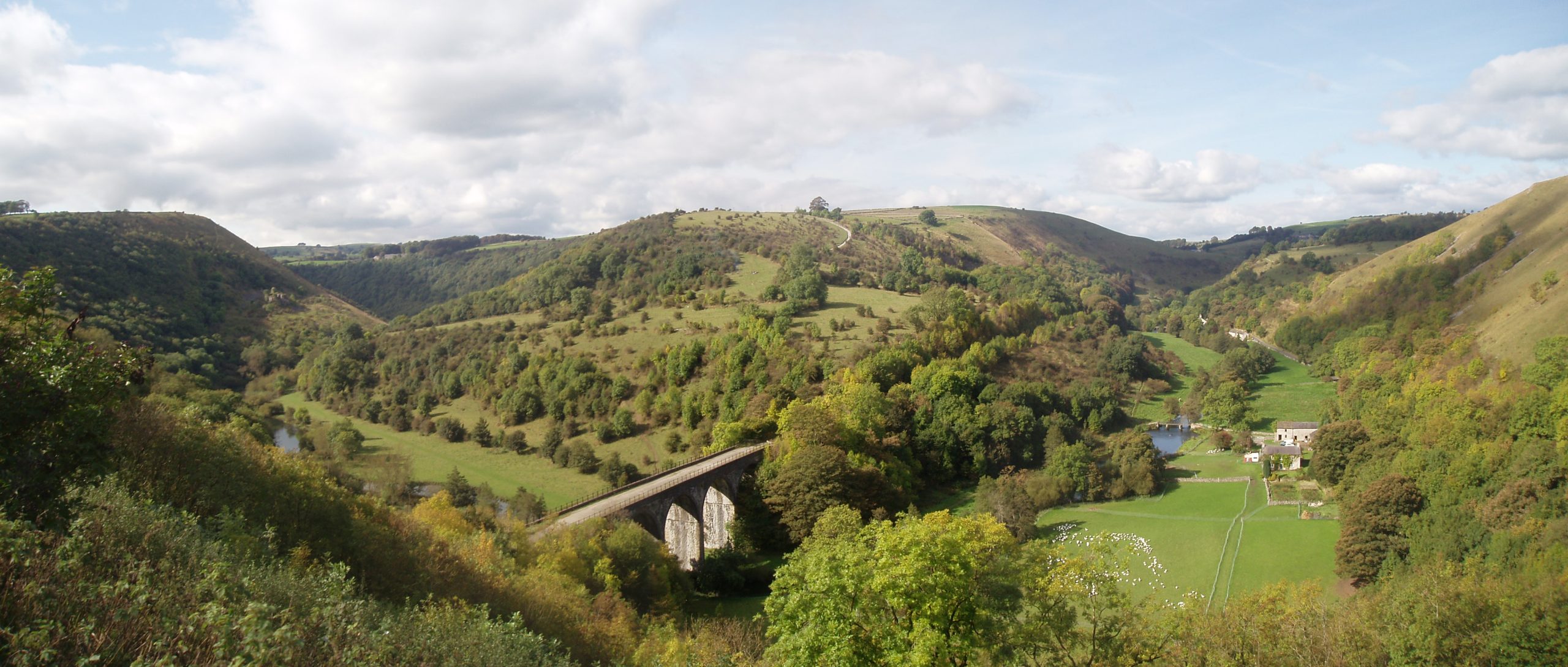
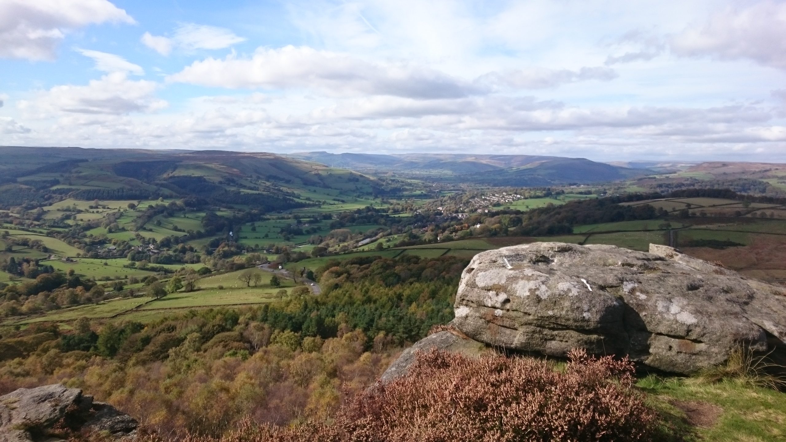
The White Peak’s valleys and villages give a different experience from the higher, more exposed Dark Peak. You can spend a day beside a river or on a traffic-free trail, or choose a hill walk with much greater demands on navigation and fitness.
Old railway routes make some of the scenery easier to reach, while the edges reward visitors who want open views. A successful day need not involve a summit: choose a comfortable distance and leave time to stop, look and enjoy the landscape.

Walks and places to explore
Monsal Trail from Hassop or Miller’s Dale
The authority’s accessible route follows the former railway over viaducts and through tunnels. Hassop Station offers a starting point north of Bakewell; Miller’s Dale provides a shorter option towards Chee Dale, listed as 2.7 km. This is a shared trail, so allow cyclists and other users space. Tunnel lighting runs until dusk.
Castleton without a big climb
The Castleton Peak Miles without Stiles route starts near the visitor centre and follows the stream. It offers a way to enjoy the village setting without taking on the surrounding hills. Consult the official route map for surfaces and the appropriate accessible parking before leaving the centre.
Gritstone edges or high moor
Choose an official walking route if you want to explore the more exposed upland landscape. Expect uneven ground and changing weather, rather than the railway trail’s easier character. Check the full route distance, climb and escape options; turn back while you still have enough daylight and energy for the return.
Accessibility and easier visits
Use the National Park’s Access for All and Miles without Stiles guides to compare named routes. The Monsal Trail and Castleton route are useful starting points, but access to a trail can differ from the trail surface itself. Check the exact entry point and current map.
The authority’s own car parks provide dedicated disabled bays and free parking for Blue Badge holders. This does not apply automatically to every privately or council-operated car park in the wider area; read the signs and operator information.
Plan your visit
Getting there
Choose a gateway close to your walk instead of treating the National Park as one destination. Hope Valley railway stations provide useful access to the northern area; Bakewell and Castleton have bus connections. Check current services and the last return before planning a car-free day or linear route.
Parking and cost
Use an official car park and check its own charge and payment method. National Park pay-and-display sites offer RingGo payment. Popular trailheads can fill quickly: have another destination in mind and keep roads, gateways and passing places clear rather than parking on verges.
Opening and admission
There is no single National Park opening time or admission ticket. Visitor centres, cafés, cycle hire and car parks operate separately. Check current trail notices and opening information for the services you need; a path being available does not mean nearby toilets are open.
Toilets and refreshments
Hassop Station and Miller’s Dale Station are the nearest facilities named for the Monsal route. Bakewell and Castleton are useful places to plan food and toilet stops. Carry your own water and a snack for countryside walks, and verify accessible toilets separately before travelling.
Dogs and responsible visits
Keep dogs close and follow local restrictions. On open access land a short lead is generally required from 1 March to 31 July, and around livestock at any time; some land has additional exclusions. Use the authority’s dog guidance and signs at the chosen walk rather than assuming all moorland is dog-accessible.
Wildlife and changing seasons
Dales and trail margins
Pause along established paths to notice woodland, river habitats and plants beside the railway trails. Keep out of sensitive vegetation and avoid blocking the route while watching wildlife.
Moorland
The open uplands are important for ground-nesting birds. Keep disturbance low, especially in the breeding season, and enjoy views from the path rather than approaching birds for a closer photograph.
Make the most of your day
Carry a map, waterproof layers and suitable footwear. Avoid fires and disposable barbecues, take litter home and leave gates as found. Check temporary access and path restrictions before a walk; steep river paths below the Monsal Trail are different outings from the accessible railway route.
Official visitor information
Official visitor information · Monsal Trail accessible route · Castleton Peak accessible route · Access for All · Parking information · Visiting with dogs
Visitor details checked 5 October 2026. Opening times, charges and access can change; check the official sources before travelling.