
Home / North West / Cumbria
NORTH WEST
Lake District
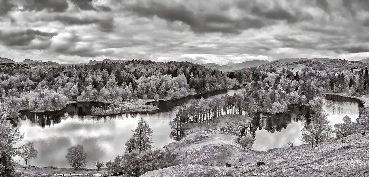
Lakes, wooded shores and mountain skylines make the Lake District much more than a place for summit walks. Tarn Hows is a useful introduction to a water-and-woodland landscape, while the wider park offers routes ranging from short village outings to demanding fell days.
This guide covers the National Park as an area. Pick a particular lake, route and starting point before travelling; facilities and access conditions vary, and driving between valleys can take a substantial part of the day.

Lake District at a glance
Where
Cumbria
Your visit
Choose a short outing or a longer walk using the route information below.
Before you arrive
Check current opening times, route conditions and local notices.
Why visit Lake District?
A lakeside visit gives time to enjoy changing reflections, woodland and the outline of the fells without committing to a mountain climb. Choose a walk that leaves room for pauses, especially if the group has different walking speeds or interests.
The most rewarding itinerary is often a modest one: explore one area thoroughly rather than collecting a string of distant viewpoints. Weather can change the experience completely, so keep a lower-level alternative ready when the tops are hidden or conditions deteriorate.

Walks and places to explore
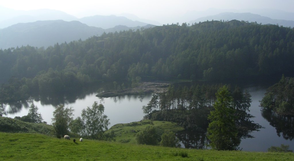
Tarn Hows: water, woodland and fell views
The National Trust’s published circular walk starts from the Tarn Hows car park near Coniston. Its main path is firm gravel with inclines and descents; an optional higher extension includes different ground. Read the full map before leaving and keep to the main route if using a wheelchair or mobility vehicle.
Friar’s Crag and Derwentwater
The National Park’s Miles without Stiles collection includes a route along the Derwentwater shore at Friar’s Crag. Use the current route entry to choose a start, distance and suitability rating. A shoreline path can be an appealing alternative to high ground, but check the actual surface rather than assuming a lake walk is level.
Coniston or a village-based outing
The official accessible collection also includes Monk Coniston, while information centres at Coniston, Hawkshead, Bowness and Ullswater can help match a walk to your visit. Choose a published route for the time and energy available, keeping the return journey and forecast in mind.
Accessibility and easier visits
The authority’s Miles without Stiles collection has 50 routes with graded suitability. Compare gradients, path surfaces and distances with your chair, scooter or walking needs. A route suitable for some users may still be unsuitable for others.
Tarn Hows has an accessible toilet and designated parking provision. All-terrain Tramper borrowing is available, with advance booking advised. Contact the provider to confirm availability and suitability before making travel arrangements.
Plan your visit
Getting there
The official visitor guide encourages travel by train, bus, boat, bike and on foot where practical. Choose your base first, then check current connections to the walk and the last return service. A boat outing and a fell walk have different access and timing requirements.
Parking and cost
Use a designated car park and follow its payment and parking rules. Tarn Hows has pay-and-display parking, with National Trust member arrangements described on its official page. Busy parking areas need a backup plan: do not block narrow roads, gates or access for residents and emergency vehicles.
Opening and admission
The National Park has no single entrance ticket or daily opening timetable. Public access, paid attractions, boat services, car parks and information centres operate separately. Check any notices for your route and the current hours of facilities needed for the visit.
Toilets and refreshments
Plan toilets and refreshments around your selected start and nearby village. Tarn Hows has toilets at the car park, including accessible provision. Away from centres and settlements, carry drinking water and food rather than relying on finding a café along the way.
Dogs and responsible visits
The authority asks for dogs to be on leads wherever livestock may be present. Tarn Hows welcomes dogs on leads. Follow local signs elsewhere, give wildlife space and take dog waste home rather than leaving a bag beside the path.
Wildlife and changing seasons
Quiet shores and woodland
Slow down at the water’s edge and watch from established paths. Woodland and shore habitats can make a short route worthwhile even when mountain views disappear. Avoid disturbing birds for photographs, and enjoy any sightings without assuming a particular species will appear.
Changing seasons
Leaf colour, water levels and weather change the feel of the same route through the year. Shorter daylight and slippery ground matter in autumn and winter; in summer, leave room for busier paths and popular parking areas.
Make the most of your day
Carry a map, waterproofs and suitable footwear, and check the mountain forecast before choosing high ground. Keep clear of steep edges and unfamiliar water: cold lakes and hidden hazards need respect. Use designated overnight sites and follow the official guidance on fires, camping and protecting the landscape.
Official visitor information
Official Lake District visit planning · Miles without Stiles accessible routes · Tarn Hows circular walk and facilities · Visitor questions and practical advice
Visitor details checked 5 October 2026. Opening times, charges and access can change; check the official sources before travelling.